NATIONAL PARKs & STATE FORESTS
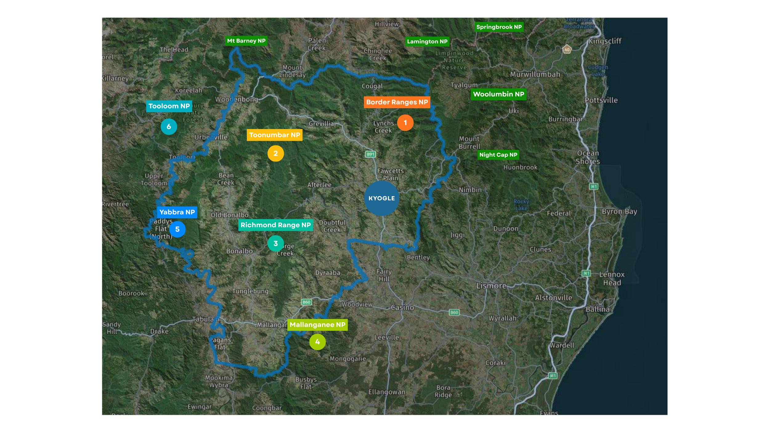
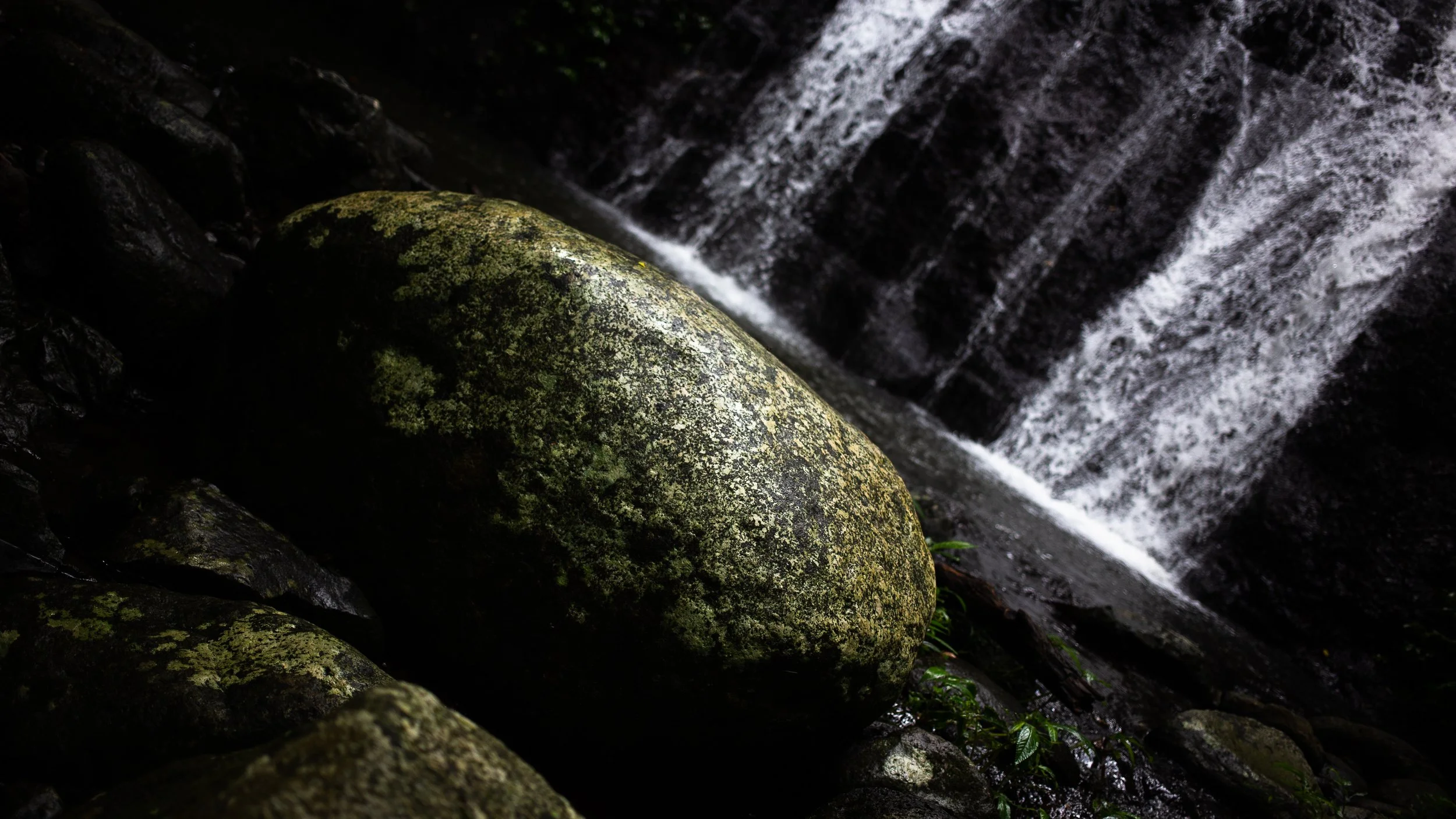
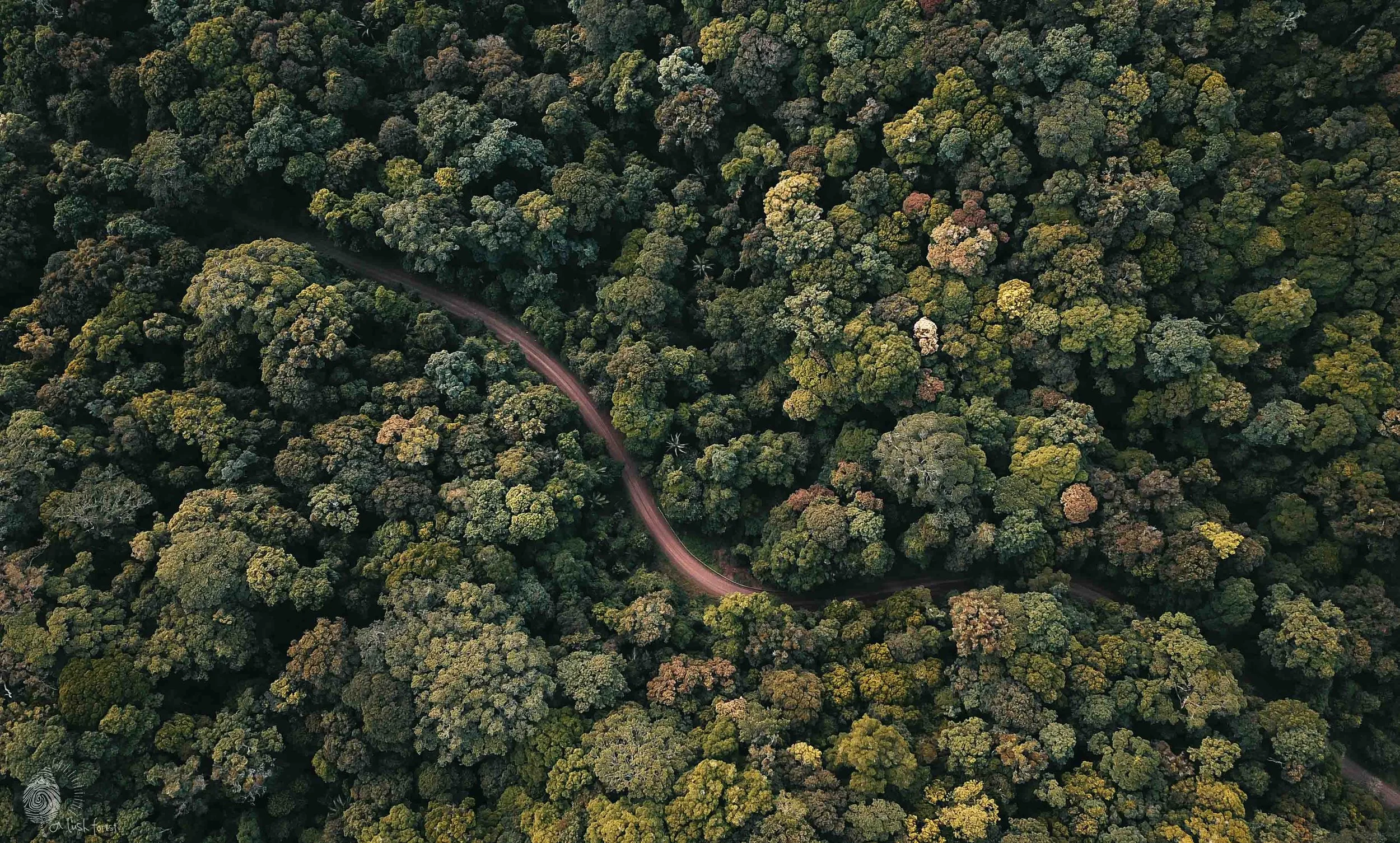
From the lush rainforests of Border Ranges National Park to the rugged terrain of the Toonumbar National Park, there’s no shortage of breathtaking scenery and outdoor adventure waiting for you in the Kyogle LGA.
-
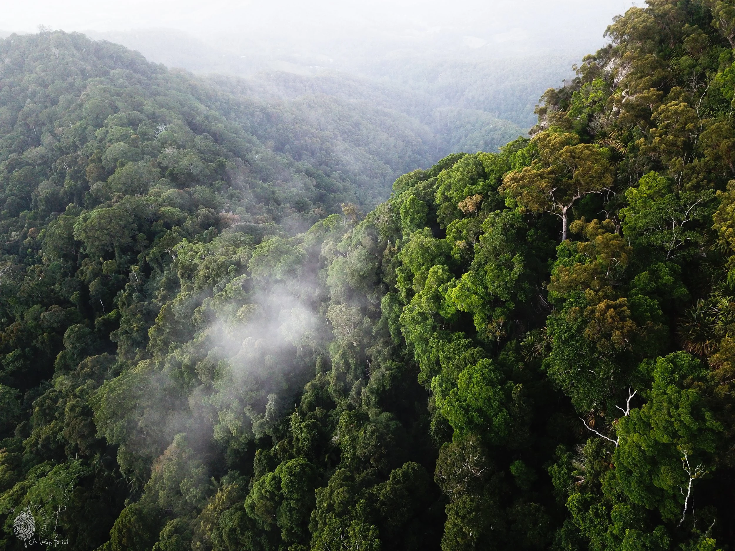
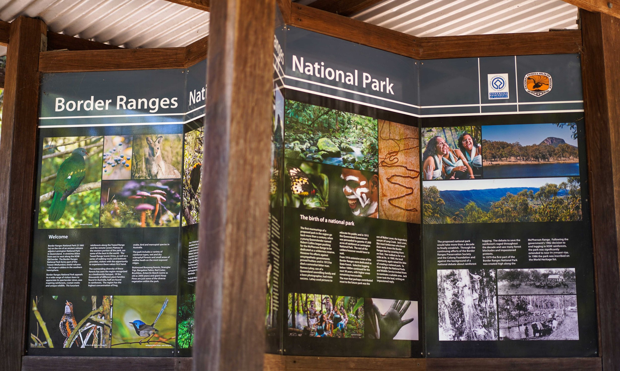
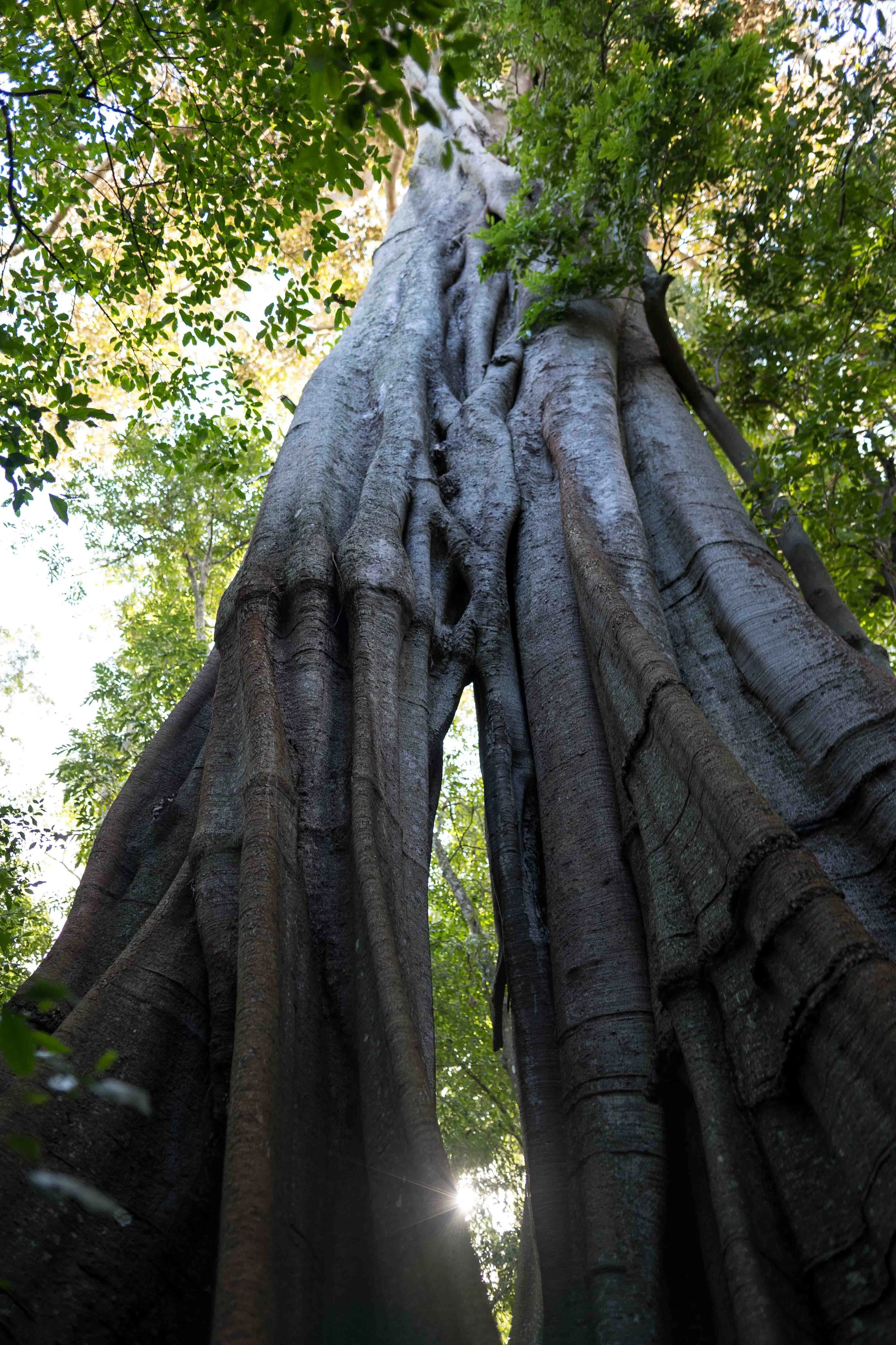
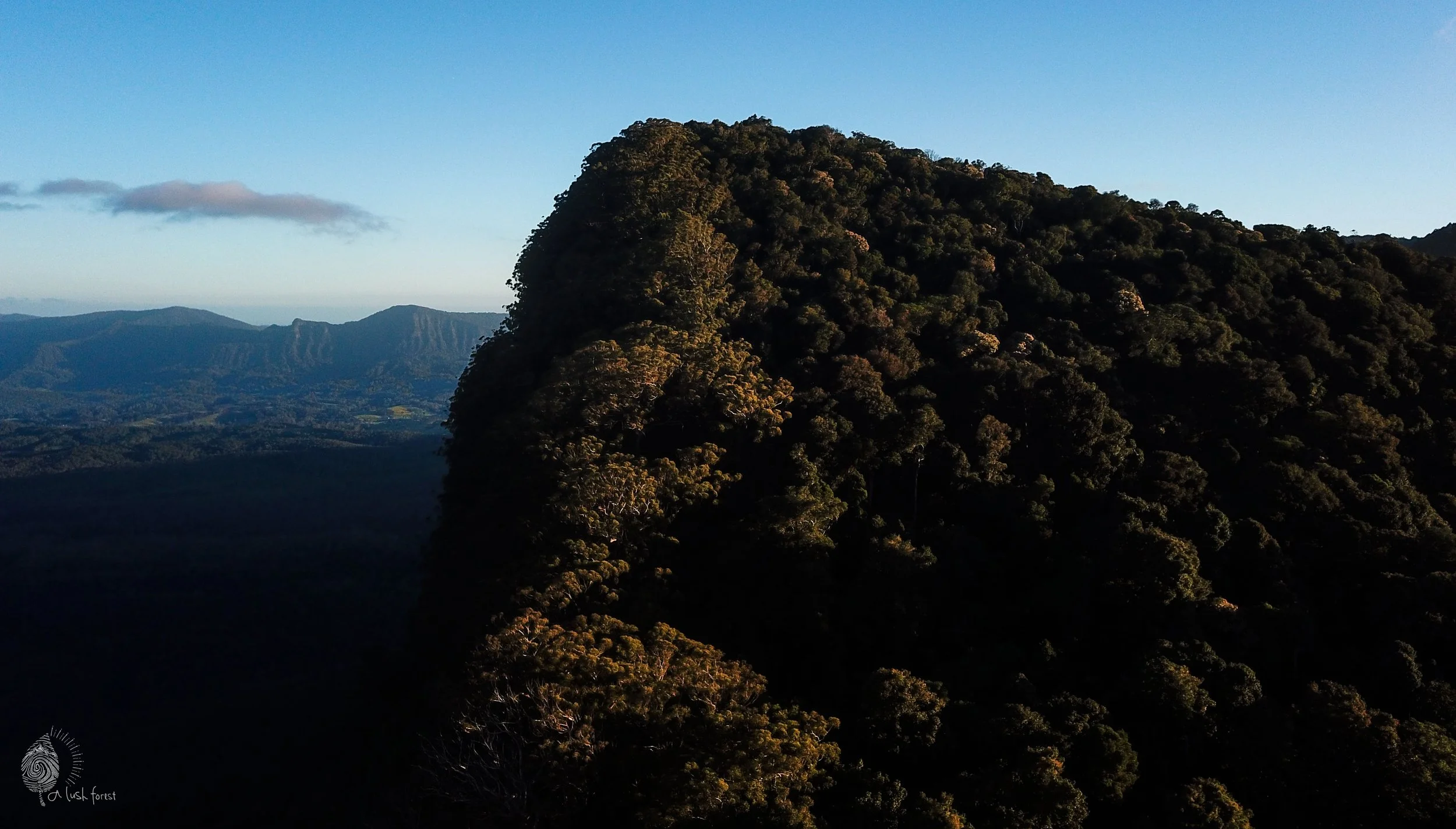
Antarctic Beech forests, breathtaking escarpments and incomparable views towards Wollumbin and the East Coast.World Heritage-listed Border Ranges National Park lies along the New South Wales/Queensland border and curves the spectacular crater escarpment of the ancient Tweed volcano. It encompasses 31,729 hectares of untouched rainforest, and the many walks in the park feature spectacular views, pristine rainforest, waterfalls, sparkling creeks, and unique plants and animals that connect back to the ancient Gondwana supercontinent.
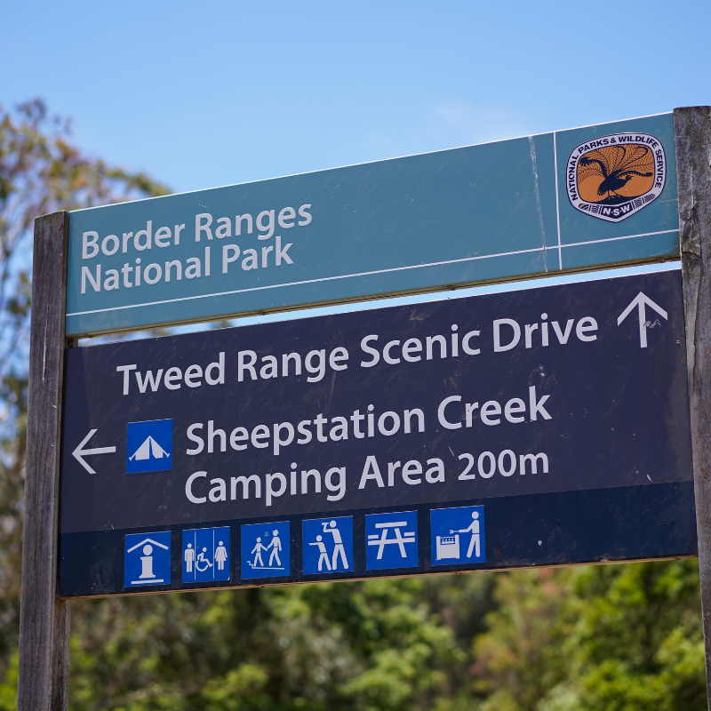
Exploring the park, travel the Tweed Range Scenic Drive, a well maintained 42km gravel road which traverses the park from the eastern end and follows the edge of the Wollumbin caldera. It emerges from the park on the western side, to connect with the Lions Road Scenic Drive and Summerland Way. The drive can be completed in 4-5 hours, allowing for a leisurely pace with stops to enjoy views and picnic, or stroll some of the shorter walks on offer.
PLEASE NOTE: Due to the steep roads and terrain, all caravans, buses and motorhomes must be left at Sheepstation Creek campground. Accessible ONLY from the western end of the park.
PARK HIGHLIGHTS
Blackbutt Lookout and the Pinnacle Walk and Lookout, offer unmatched views of Wollumbin (Mt Warning) and the Tweed Valley to the east coast.
Antarctic beech at Bar Mountain Picnic Area.
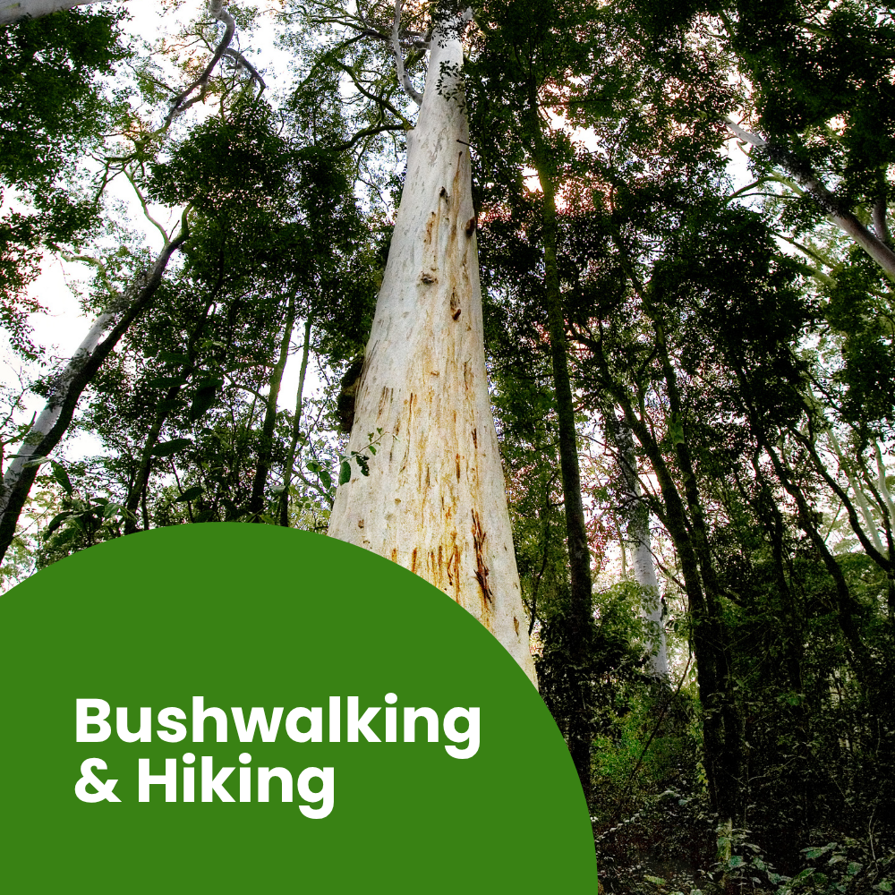
Brindle Creek walking track, with cascading waterfalls, giant hoop pines and Antarctic beech.
WALKS
Border Loop lookout & walk | 1.5km loop
Palm Forest walking track | 1km one-way
Rosewood Loop | 6km loop
Booyong Walking Track | 9km one-way
Red Cedar loop | 750m loop
Helmholtzia loop walking track | 1km loop
Brindle Creek walking track | 6km one-way
Pinnacle lookout and walk | 600m return
Bar Mountain circuit | 4km loop
Falcorostrum loop | 650m loop
CAMP GROUNDS
Sheepstation Creek campground
Forest Tops campground
BORDER RANGES NP INFORMATION & LINKS | NSW National Parks & Wildlife Service
Up to date information on park facilities, closures, payment for park passes and bookings of camping facilities are also available via the National Parks and Wildlife Service App.
-
-
-
-
-
-